| Property Name |
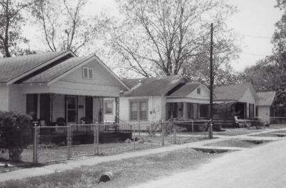
Independence Heights Residential Historic District |
| Other Name |
|
| County |
Harris |
| Address |
Roughly bounded by N. Yale and E. 34th Sts., and I-610 |
| City |
Houston |
| Date Listed |
6/4/1997 |
| Reference Number |
97000542 |
| Multiple Property Name |
Historic and Architectural Resources of Independence Heights
|
| To SBR |
2/8/1997 |
| Vicinity |
No |
| Status |
Listed |
| Date Removed from National Register |
|
| To NPS |
5/1/1997 |
| Date Notified |
|
| Local Significance |
Yes |
| State Significance |
No |
| National Significance |
No |
| Area of Significance |
Architecture, Community Planning and Develpment, Ethnic Heritage - Black |
| Criteria |
A (historic events), C (design/architecture) |
| Architectural Style |
Late 19th and 20th Century American Movements, Bungalow/Craftsman |
| Time Period |
1900-1924, 1925-1949 |
| Resource Type |
District |
| Architect |
multiple |